

Weather, Physical & Biological Data
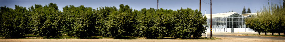
This San Joaquin Valley location has a long growing season, deep clay loam soil, and the facility can provide access to a wide range of available equipment and skilled farming staff. Crops and soil types at the center are representative of the region extending from western Kern County on the south to western Merced County on the north, and generally west of the San Joaquin and Kings River. The soil is classified as Panoche clay loam, a soil with good surface and internal drainage and widely recognized as an excellent agricultural soil. Located within the Westlands Irrigation District, the center is approximately 280 feet above sea level. The Westlands Irrigation District pressurized water delivery system delivers high quality, low salinity irrigation water, while a large output deep irrigation well at the WSREC provides supplemental water of <2dS/m electrical conductivity (EC)water. A small output shallow well can provide water of about 6 dS/m for use in saline irrigation studies.
Local Weather
Linked data is from the California Irrigation Management Information System (CIMIS) weather stations. Visit CIMIS web site.
Fresno County Stations
- Coalinga
- Firebaugh/Telles, Firebaugh
- Five Points South West, Five Points
- FivePoints/WSFS USDA, Five Points
- Fresno State, Fresno
- Orange Cove
- Panoche, Firebaugh
- Parlier
- Westlands, Tranquility
